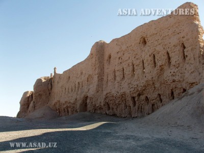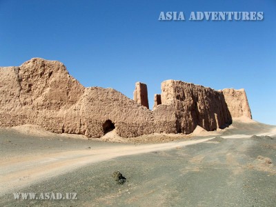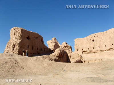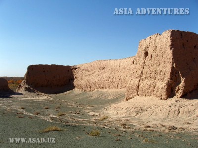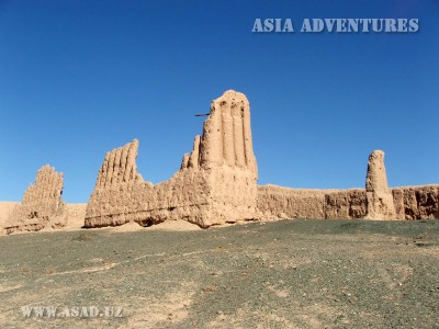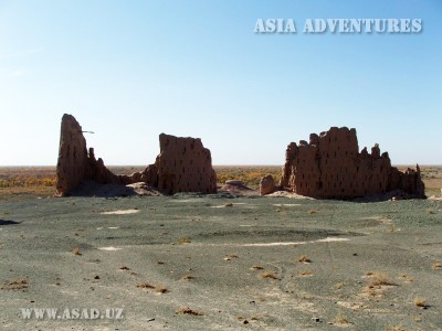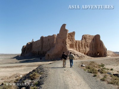
Dzhanpik fortress (Jampyk) – kala is located only in 6 km from the highway Urgench-Nukus (50 km from Nukus) on south-western branch of Sultan-Uizdak ridge not far from banks of Amudarya river, on the border of Baday-Tugay reserve.
An outstanding Soviet archaeologist S.P.Tolstov, who was the head of Khoresm archaeological and ethnographic expedition in Karakalpakstan, called Dzhanpik-kala the most beautiful fortress in Khoresm. Dzhanpik–kala is specially showy in the evening from the South-East, when the way, running through the forest for a long time, suddenly comes to the mountains. And on dark-green tops of mountains in the frame of trees and rocks, a fanciful silhouette of walls and towers of the fortress open at sunset, creating the impression of magic landscape.
The first buildings in the fortress were made in ancient times (IV century BC - I century AD), but the walls, which you see today, dated by the medieval period and were built from IX to X centuries AD. There are residential and industrial zones in the fortress, dated by XII-XIV centuries AD. On the north-western side of fortress there is a palace or a citadel with walls, saving elegant façade stucco moldings, typically for the medieval architecture of Khoresm. The plan of settlement is complex, because it is not plane and conforms to nature area. On the top of fortifications there was an open gallery of archers, which was protected by low wall in the front. It was possible to walk up the stairs, located inside the wall. Five towers have continued to this day, located about 70 meters from each other.
Only one tower on the eastern wall has the inner room, other towers are monolithic. Probably there were 2 entrances. One entrance on the northern wall comes to the cemetery, and another one is on the bend wall from the southern side. A rectangular citadel is located on the highest point of settlement. There are traces of a break on southern wall, which were made during the Mongol invasion.

 Centralasia Adventures
+998712544100


