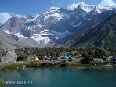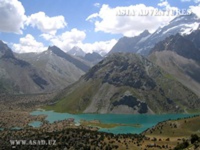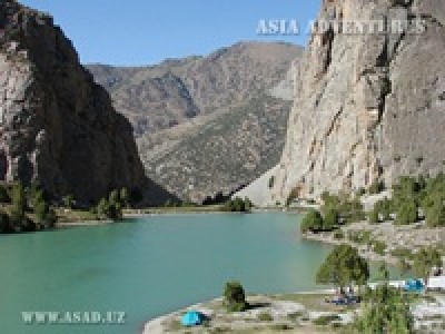
Kulikalon (39°15"11.47"N; 68°10"19.13"E) translated from Tajik as ‘a big lake’ is the second largest lake in the Fann Mountains. This body of water is located at the western extremity of the big Kulikalon depression at an elevation of 2,800 m.
To get to the lake area, one of the most beautiful sites of the Fann Mountains, we need to have a five-hour walk from the Artuch camp on an excellent path.
The lake is surrounded by a juniper forest, and the water is warm enough to swim. The northern shoreline has a fine pattern, with numerous cosy bays cutting deeply into the land and separated from each other by rocky promontories and a large, flat and green island detached from the main land by a narrow and sinuous strip of water. Lake Kulikalon narrows towards the southern end, with the rocky slopes of the Western Fann Range’s spurs coming close to the shores and the black walls of the range’s main body topped with shining white-green ice seen beyond.
A short stream separates Big Kulikalon from Little Kulikalon, the latter having the form of a small bowl. Lake Kulikalon is the last in the lacustrine chain of the Kulikalon depression. The lake is fed by two rivers, one coming from the north and the other flowing into the lake at the southern extremity. Draining from the lake the water seeps through the thick body of a moraine, at the foot of which it forms the Artuch River. Shepherds from nearby downstream villages use the lake’s shores to put up their temporary summer dwellings. Not long ago a colony of marinka fry was released into the water, which has survived and now inhabits the lake. You can have various interesting walking trips up the stream of the northern river. There, amidst hilly moraines, you can find a few lakes hidden in thick forests.
There is a series of moraine lakes scattered all over the territory of the Kulikalon depression. The highest of them are Dushakha situated at an elevation of 3,000 m above sea level (39°14"25.74"N; 68°11"58.71"E) under the Mirali Wall. A sparse juniper forest still remains on its shores. Dushakha is a system of two lakes connected through a watercourse and separated by a long strip of land. The difference in height between the lakes is not big. From their shores you can obtain a panorama of nearby glaciers reflecting in the lakes’ water. The junipers are interspersed with rowans. A good path leads to the lakes. The area can be used as a starting point for an excursion to the Maria glacier. Getting too close to the icefall is not recommended, however, as there is a constant risk of collapsing in its upper portions. As the path goes down on the slope of an old moraine, it approaches Bibi-Jonat (39°15"23.90"N; 68°11"47.69"E), an elongated lake surrounded with a forest. Bibi-Jonat drains into an extensive lower lake called Kulisiyokh (‘the black lake’) (39°15"43.95"N; 68°11"6.90"E). The shores of the latter are covered with thick, barely passable vegetation, while its water has a dark, mysterious colour. The bottom is clad in dark brown algae. As we continue our trip between boulders and trees, we reach another lake with an intricate shoreline pattern featuring small rocky islands, bays and headlands covered with black currant shrubs with large berries. This is Lake Lesnoye – the last one before Kulikalon.
The Kulikalon depression is best observed from easy grass-covered Fluorite Peak (3,450 m). On both sides you can see gleaming lakes surrounded with forests, with Lake Kulikalon lying just below you, Ruzeravat Peak in the front and a snow-and-ice range with Aurondag (4,570 m), Rudaki (4,400 m), Maria (4,790 m) and Mirali (5,106 m) Peaks popular among climbers from all over the world, behind.
There are a number of interesting tourist routes passing via the Kulikalon Lake area.
From the eastern part of the depression paths lead onto the Laudan (3,630 m) and Alaudin (3,860 m) Passes, which are the shortest ways to Lakes Alaudin. From the western part of the depression you can reach the popular Chukurak Pass (3,180 m), which is often used for acclimatisation or as a road to Lakes Ziyorat, Chukurak and Beloye.

 Centralasia Adventures
+998712544100


